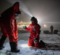
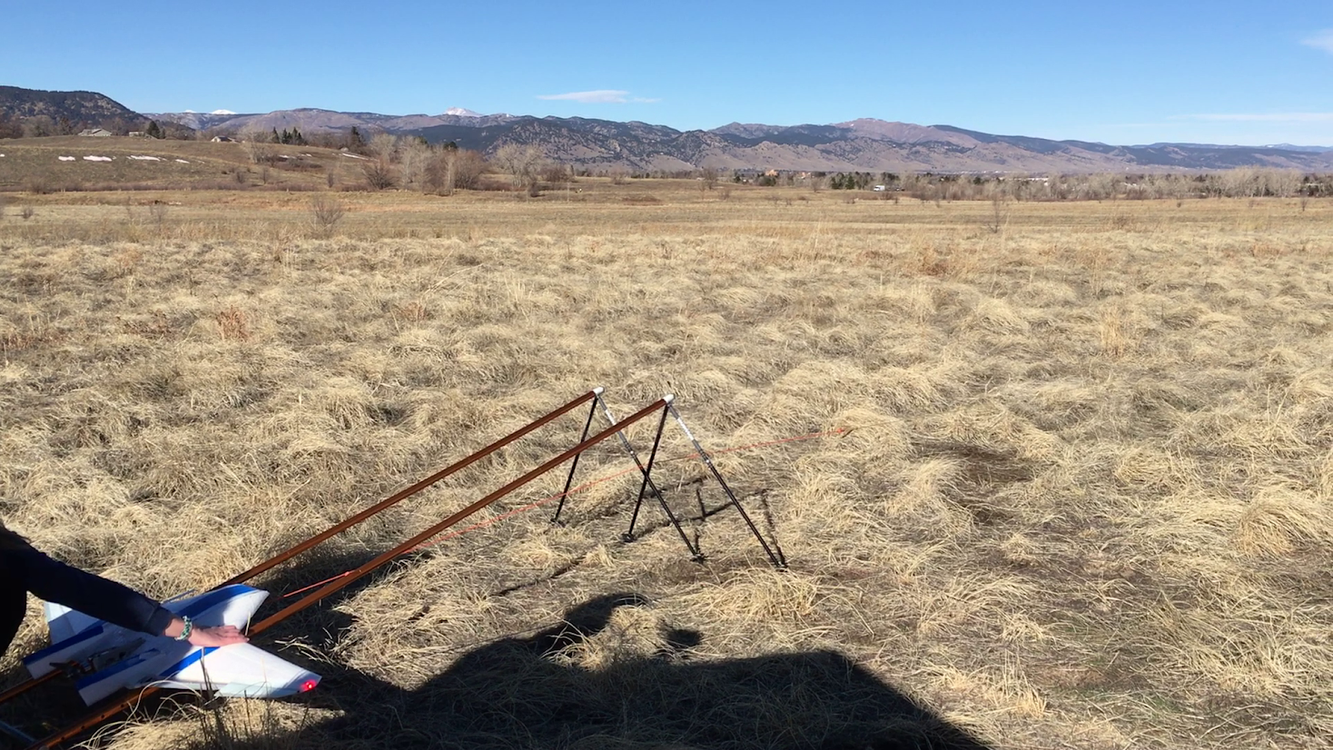
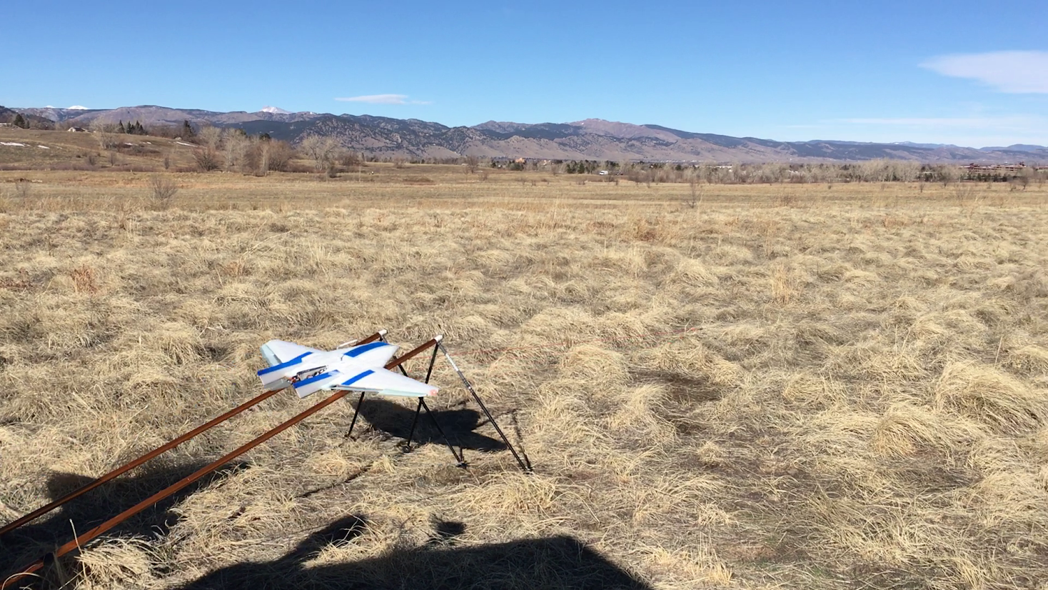
You might think of drones as cool toys to fly or to take pictures, but drones can also be very useful for atmospheric science. They can carry many sensors that provide valuable data about the Arctic. Some drones look like an airplane (often without the tail) and are known as “fixed-wing aircraft”. Others have multiple propellers and resemble a helicopter--we call these “multi-copters”. The fixed-wing drones fly for a longer time than the copters and can go higher and farther away. The DataHawk drone from the University of Colorado-Boulder is a fixed-wing aircraft. It weighs is 1.5 pounds and has a wingspan of just less than three feet. There are currently two scientists aboard Polarstern to fly the DataHawk.
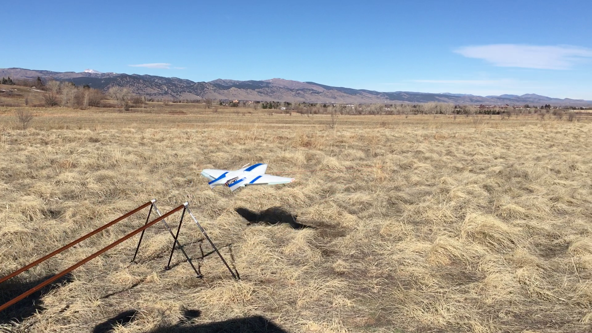
Before take-off, the team establishes a flight mission. The operations take place on the ice next to the ship. The UAS operators launch the drone, and using a remote control, a pilot manually controls the first part on the flight. Then, after checking that everything is going well, the pilot switches the control to autopilot. As soon as autopilot is engaged, the drone follows an established flight plan. If the scientific mission corresponds to a profile of the atmosphere, the DataHawk flies a spiral up from 65 feet to 3,280 feet above the ice, taking measurements of temperature, pressure, and humidity along the way. The DataHawk then follows a similar spiral pattern back to the ground. To land, the pilot uses the remote again to take over the drone, and smoothly lands the UAS on the ice.
Flights typically last around an hour. However, a lot of different conditions can reduce the flight time, such as cold temperatures, high winds or poor visibility. The polar environment is very challenging and requires drone operators to adapt.