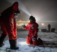
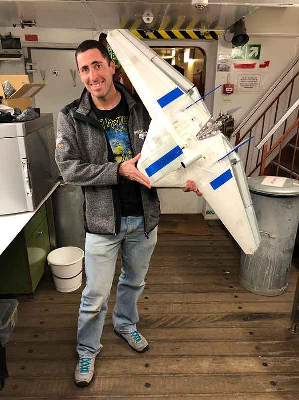
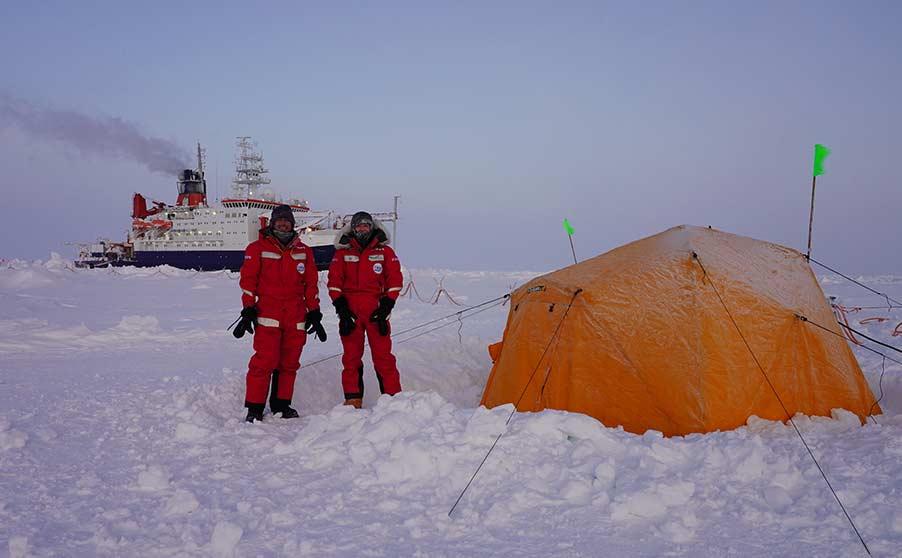
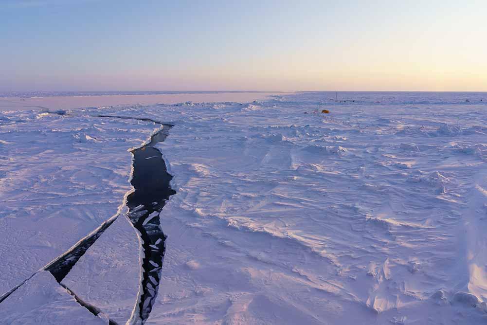
Hello, I’m Dr. Radiance Calmer. I’m a postdoc at the University of Colorado, Boulder and I work in atmospheric science with unmanned aerial systems (UAS)--otherwise known as drones. This summer, I'll be joining the MOSAiC Expedition in the Central Arctic during Leg V. I'll be operating the drones that collect data on the Arctic atmosphere. As scientists, we are really curious about how the atmosphere interacts with sea ice and open water in the Arctic as our climate is rapidly changing. To get an idea about these interactions, we measure temperature, pressure, humidity, wind, and sunlight coming from the sky or reflected by the ice.
There are many different ways to study the atmosphere. Scientists collect data using instruments high on the masts of a ships, built into airplanes, orbiting the Earth on satellites and more. I use drones, which provide intermediate measurements from the surface to hundreds of meters above while remaining complementary to the other instruments deployed for MOSAiC. Scientists from the University of Colorado-Boulder expect to use the measurements from drones to improve their numerical model of the Arctic, therefore contributing to the general effort of understanding our future climate.