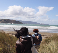
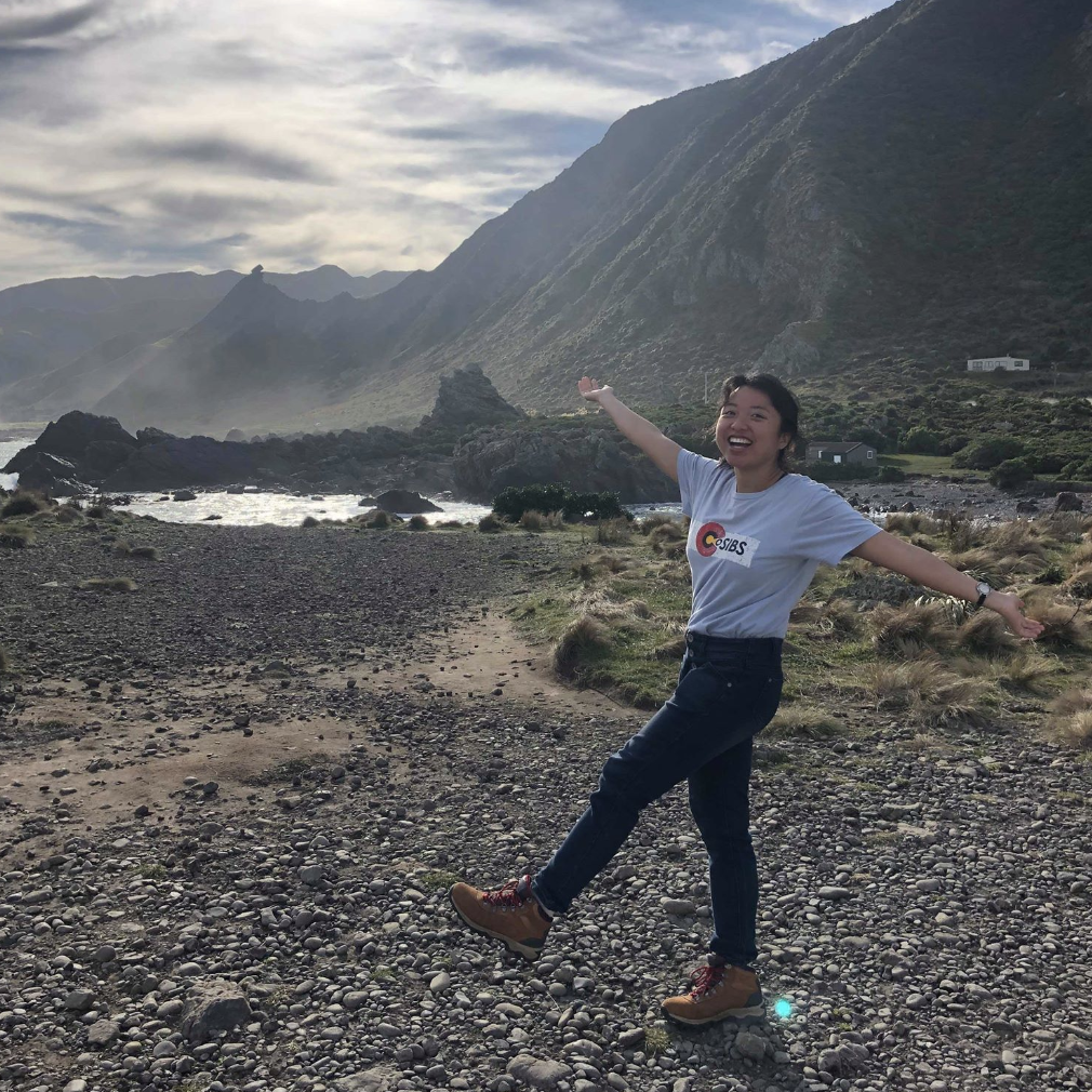
In my Peopling of Polynesia class, our assignment included a field trip to Raho Ruru Pā. Our goal was to map out the location from a birds eye's view. We measured the features of the site only using our steps. I have never mapped an archaeological site before, so this task was very difficult. However, I had fun learning about the features of the site and imagining what it would be like living there.
This location is an archaeological site. It is well-preserved, and we could see the sweet potato, or kumara, pits. These vegetables would have been stored here for consumption during the winter. We could also see the extensive bank and ditch system the Maori people built. There were terraces where houses had been built. The site is on top of a hill, which provides a good position to see any incoming enemies.
The Pā is on a hill where there used to be a swamp, so the environment would have been very beneficial for safety. On the other side of the hill which consists of dryer land, the people had built a bank and ditch system to prevent enemies from invading. The kumara pits also would have provided enough food for the people to survive the winter.