You can find photos here of the volcano’s lake as well as photos from the volcano’s last eruption. Most of the city was destroyed by earthquakes caused by the eruption, and a river of molten lava was cast in the opposite direction of San Salvador (towards a town called "Quezaltepeque").
Check out this article (Google will translate the page for you) to learn more about the history of the eruption and the volcano!
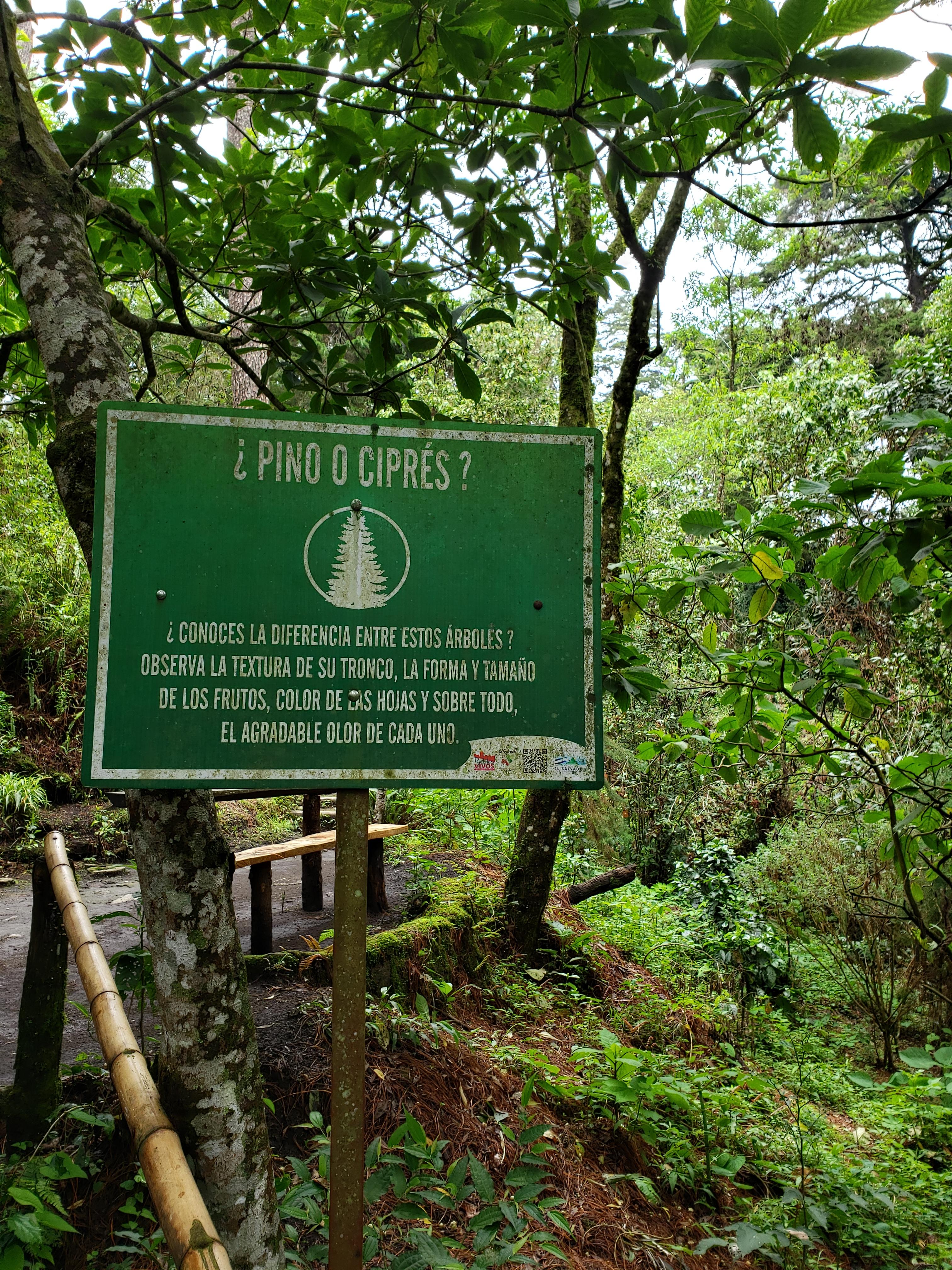
After a bit of difficulty for my car (due to a dry radiator), we arrived at the entrance of the park and paid a small fee to get in. The environment up near the crater was totally different than that in San Salvador. The surroundings were a lot greener than down in the city. The air was fresh and cool and the area felt a lot more relaxed. From this point, we entered the park and looked for the path to see the crater.
We found our way pretty easily, approaching the edge of the crater about ten minutes after entering the park. This volcano technically has two craters, a big one, el Boquerón (the 'big mouth,' about 500 meters deep) and a smaller one that they call el Boqueroncito (somewhat translating to the 'little mouth'). As a side note, Salvadorans tend to use the ending '-cito' quite often, even if it doesn't 'officially' makes sense. The little crater, el Boqueroncito, was formed after the 1917 eruption. Although it looks small from above, it's actually quite big!