Heat from deep within the Earth warms underground water, creating geothermal systems that can be used for electricity and heating. Volcanic processes also produce fertile soils that are well suited for farming. In addition, river valleys and coastal plains created by erosion and sediment deposition provide flatter land where cities, farms and transportation networks can be built. In many ways, the same tectonic processes that shape the mountains also determine where people are able to settle and grow food.
Living on an active plate boundary means that earthquakes are a regular part of life here in New Zealand. Some faults are capable of producing very large earthquakes, and it is difficult to predict exactly when they will occur. Strong shaking can damage buildings, roads and bridges. Because much of the country is mountainous, earthquakes can also trigger landslides, especially on steep slopes.
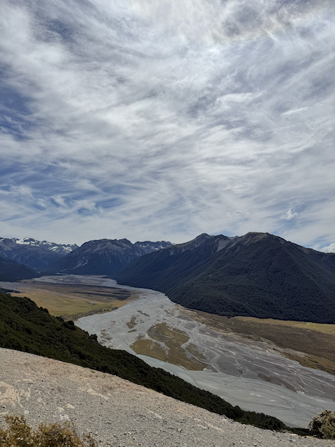
Coastal communities face additional risks. Underwater earthquakes can generate tsunamis, and some areas are vulnerable to coastal erosion. The limited amount of flat land means that many towns and cities are built in valleys or along the coast, which can increase exposure to flooding and seismic hazards. In New Zealand, the shape and movement of the land help decide where people can safely build, meaning geology plays a direct role in how towns and cities are planned.