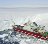
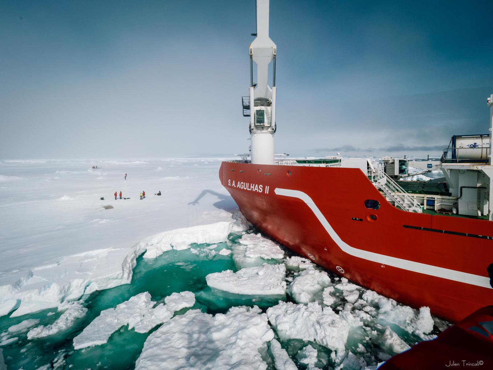
When a polar vessel like the S.A. Agulhas II wants to safely navigate ice-covered polar regions, it relies upon satellite data to show the way. Due to the dynamic nature of polar regions, it is necessary to double-check satellite data by observing the situation in-person. Because the Weddell Sea Expedition 2019 is one of very few ships to have ever visited this part of the Weddell Sea, scientists are in a unique position to observe sea-ice conditions for themselves and compare what they see to existing satellite data.
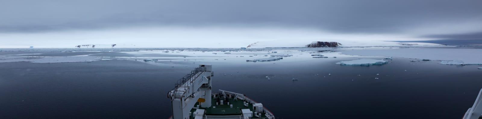
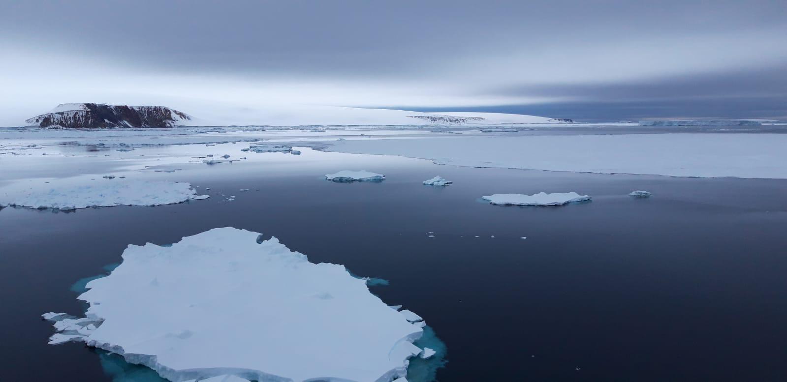
From a scientific perspective, sea-ice observations allow us to monitor the evolution of the sea-ice cover as the vessel transects the Marginal Ice Zone and approaches the Antarctic continent. The Marginal Ice Zone is the transition between the open ocean and sea ice. This zone is very dynamic and can change in a matter of hours or days! Additionally, sea-ice observations allow us to track how the sea-ice cover and location changes year after year. Although satellites can provide uninterrupted observations, they are limited as to what they can observe.